China's warning: the strongest on record
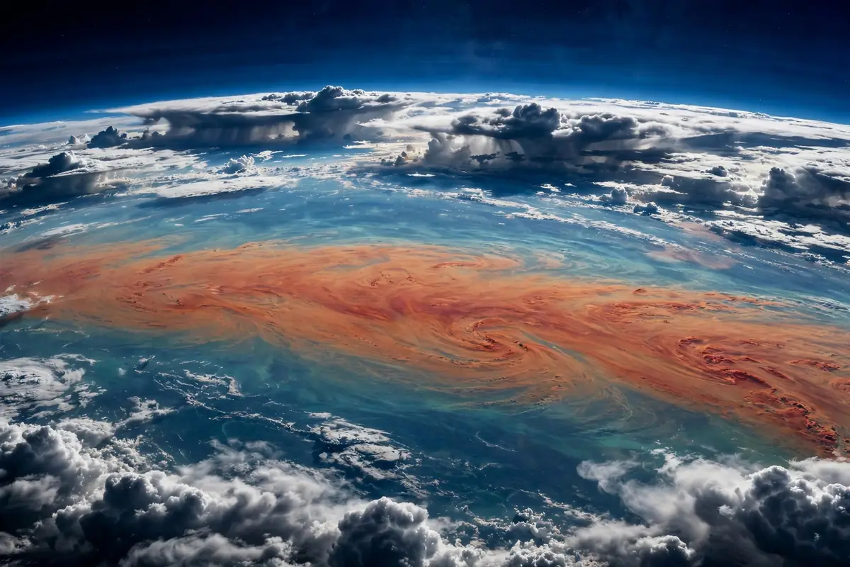
China's government meteorologists have issued a stark forecast: the El Niño developing in the Pacific this year is on course to become the strongest super El Niño since instrument records began. At a press conference on September 29, officials from the National Climate Centre said the sea surface temperature index — the key measure of the phenomenon's strength — is projected to peak at between 3.2 and 3.5 degrees Celsius above normal around November.
El Niño conditions began appearing in the central and eastern equatorial Pacific in May, and the temperature indices have risen rapidly since, the officials said, according to Reuters. The event already had a strong impact during China's flood season this year, and meteorologists expect it to keep influencing weather both worldwide and in China through autumn and winter, and into next spring and summer.
The warning carries particular weight because China has already endured a punishing summer. The country's climate scientists link the current event to the extreme rainfall and heat patterns that have battered parts of the country in recent months. With the peak still to come in November, officials are bracing for the phenomenon's second act — the winter and spring, when El Niño's global fingerprints typically show up most clearly.
What makes an El Niño 'super'
El Niño is a natural climate pattern that typically occurs every two to seven years, when weakening trade winds allow warmer-than-normal waters to spread across the eastern Pacific. It tends to raise global temperatures and disrupt rainfall patterns across large regions, bringing drought to some areas and heavy rain to others.
The 'super' designation is reserved for the most extreme episodes. During a super El Niño, the pool of warm water in the Pacific becomes so vast and so warm that its effects ripple across every continent. Past super events, including those of 1982–83, 1997–98 and 2015–16, were each followed by years that ranked among the warmest on record, and each brought cascading disasters: floods in South America, drought and wildfires in Southeast Asia and Australia, failed harvests in Africa.
What makes this one potentially the strongest ever measured is the sheer scale of the ocean warming. A peak index of 3.2 to 3.5 degrees Celsius would surpass even the 2015–16 event, which for years stood as the benchmark. And this time, the event is unfolding on top of more than a century of human-driven warming — meaning the baseline it is adding to is already far higher than in any previous super El Niño.
A human toll on a staggering scale
Just days before China's announcement, a sobering analysis quantified what this record-strength event could cost in human lives. A report published on September 23 by the Climate Impact Lab — a team of scientists, economists and data engineers headquartered at the University of Chicago — estimates that extreme heat fueled by this year's El Niño could kill 451,000 people between June 2026, when it arrived, and February 2027. Those deaths would be in addition to the usual number of heat-related deaths in a typical year.
The report notes that the 'anomalously warm conditions' caused by the record-shattering El Niño will resemble the higher temperatures that climate change is projected to deliver 20 years in the future — and will lead to 44 per cent more extremely hot days than would be expected in a normal year. Heat is already the most deadly form of extreme weather, although heat deaths are not well tracked, even in wealthy nations.
The researchers believe the true number is likely to rise. With current forecasts suggesting El Niño will remain in place through the Northern Hemisphere spring, the heat impacts will linger into the summer months — and the death toll projections along with them. The deaths from extreme heat would also come in addition to those expected from other El Niño-fueled extreme weather, including fires, floods and droughts.
'We have long been able to predict the impacts of temperatures on crops, and now we can predict their impact on the worst outcome — death,' said Michael Greenstone, a report author, co-founder of the Climate Impact Lab and an economics professor at the University of Chicago. The report has not yet been peer-reviewed, but the researchers say it uses peer-reviewed methodology to reach its conclusions.
The projected burden falls hardest on the tropics and subtropics. Nigeria is expected to see the largest number of El Niño-related deaths over roughly the next five months, at 31,400. Indonesia, Sudan, India and Brazil are each projected to see more than 10,000 deaths through February, according to the analysis.
What it means for the United States
For Americans, the super El Niño is most likely to make its presence felt this winter. El Niño winters in the United States typically bring wetter-than-normal conditions to the southern tier of states — from California across the Gulf Coast to Florida — along with warmer-than-average temperatures across the northern states and the Pacific Northwest.
That pattern carries real consequences. Atmospheric river storms striking California could bring much-needed reservoir recharge but also flooding and mudslides, particularly in areas scarred by recent wildfires. The southern states may face elevated flood risk, while the Northeast and Midwest could see a warmer, less snowy winter — good news for heating bills, but a concern for winter tourism and for water managers who depend on snowpack in the West.
There is also a silver lining for one hazard: strong El Niño years tend to suppress Atlantic hurricane activity, because stronger upper-level winds shear apart developing storms. After destructive hurricane seasons in recent years, a quieter Atlantic could offer coastal communities a reprieve — though forecasters caution that it only takes one landfall to make a season devastating.
What it means for Australia and the Pacific
On the other side of the Pacific, the outlook is far more ominous. El Niño classically brings hotter, drier conditions to Australia and much of Southeast Asia, and a record-strength event raises the specter of a brutal summer fire season. Australia's fire agencies are already warning that the combination of El Niño-driven dryness and the country's long-term warming trend could produce dangerous bushfire conditions from December onward.
Indonesia and Papua New Guinea face the prospect of severe drought, threatening agriculture and raising the risk of the peatland and forest fires that periodically blanket the region — and cities as far away as Singapore — in hazardous haze. The Philippines, Vietnam, Thailand and Cambodia were flagged in the Climate Impact Lab analysis as among the regions facing significant heat mortality. For Pacific island nations, shifting rainfall patterns can mean the difference between a normal year and a water crisis.
What it means for Europe and the UK
Europe's relationship with El Niño is more indirect, but still meaningful. El Niño winters in Europe often tilt toward milder, wetter conditions in the north and drier weather in the south — though the signal is weaker than in the tropics and the Pacific rim, and it competes with other climate drivers over the North Atlantic.
What is clearer is that this El Niño is arriving on top of an already extraordinary year. Europe has just endured one of its hottest summers on record, with late-September temperatures still reaching 32°C in Germany and 33°C in France. A super El Niño adds another layer of heat to the global system, making it more likely that 2026 and 2027 will rank among the warmest years ever measured — and keeping the door open for further extreme weather through next summer.
The economic shockwave
The human cost is only part of the story. A joint study by Allianz and Allianz Trade, published this week, explored the potential economic damage of a strong El Niño based on observations from the 2023–24 event. Across 144 global economies, the researchers estimate it could result in around 392 billion euros (about $451 billion) in lost economic output next year, with China, the United States and India accounting for almost 60 per cent of the gross losses.
In Europe, the 27 EU member states would face losses of around 21 billion euros ($24 billion) from El Niño specifically — equivalent to around 0.9 per cent of GDP. The study estimates a 0.31 percentage-point effect on overall inflation and a 0.5 percentage-point impact on food prices, as droughts and floods ripple through agricultural supply chains. For households already squeezed by years of high prices, that is an unwelcome prospect.
'The heatwave summer of 2026 shows how quickly things can change,' said Hazem Krichene, senior climate economist at Allianz. 'It is therefore crucial to invest in adaptation and prevention in a timely manner. Ongoing prevention, forward-looking financing, and clear lines of responsibility make more economic sense than ever-increasing expenditures for repairing damage that has already occurred.'
How long will it last — and what comes next
The peak is expected around November, but El Niño's influence will persist well beyond that. Chinese meteorologists expect the event to keep shaping weather through the coming winter and into next spring and summer. The Climate Impact Lab warns that heat-related deaths will linger into June and July of next year.
What happens afterward matters too. Strong El Niño events are often followed by La Niña — the pattern's cooler counterpart — which brings its own set of disruptions. But in a warming world, even the 'cool' phase of the cycle now runs hotter than the warm phases of the past. The anomalous warmth of this El Niño, the researchers note, is a preview of the temperatures climate change is expected to make routine within two decades.
For governments, the message is urgent and practical: heat action plans, early warning systems and support for the most vulnerable — the elderly, outdoor workers, and those without cooling — can save tens of thousands of lives in the months ahead. The science can now predict where the heat will kill. Whether the world acts on that knowledge is a question of politics, not science.
Sources