A storm with two parents
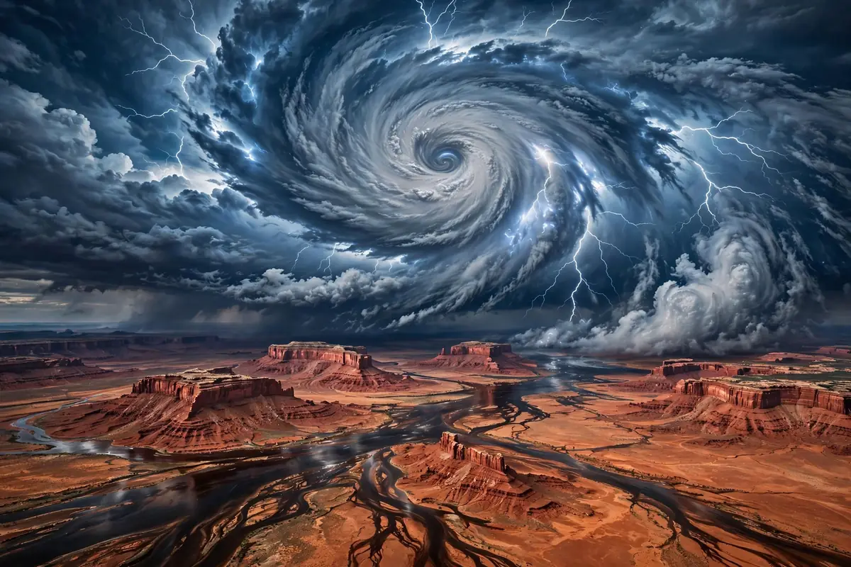
As September 2026 draws to a close, a vast and unusual weather system is assembling over the American West — and it has forecasters reaching for a new vocabulary. AccuWeather meteorologist Alyssa Glenny has dubbed it a "hybrid storm": the moisture-laden remnants of Hurricane Polo, which made landfall in Mexico this week, are merging with a sprawling upper-level trough sweeping in from the west. The result, she warned, will be days of heavy rain and flash flooding across "a huge" section of the central United States. The National Weather Service's Weather Prediction Center issued a "moderate risk" for excessive rainfall stretching from Arizona through southwestern Kansas, including New Mexico, southern Colorado, and the Texas Panhandle. In some places, said AccuWeather chief meteorologist Jon Porter, "this may be the most dangerous flash flooding risk in the last 5 years or more."
The setup is a textbook case of compounding extremes. Polo made landfall in Mexico on Tuesday morning with sustained winds near 110 miles per hour, battering Baja California Sur, where 169 shelters were opened and storm surges threatened "very severe" damage, according to Mexico's meteorological service. The remnants of an earlier system, Hurricane Odalys, were already soaking the Southwest. Now the two tropical moisture plumes are being funneled northward by the trough, with the National Weather Service warning of rainfall rates up to two inches per hour and atmospheric moisture near or above record levels for late September across parts of Texas and Oklahoma. The Little Colorado River in Arizona was forecast to exceed flood stage; several of the affected states, the reporting noted dryly, are currently experiencing drought. Flood watches were in effect through September 30 across the Southwest. Farther west, Hurricane Nolo held near Category 5 strength — 155 mph winds — on a track passing well southwest of Hawaii, a reminder that this Pacific hurricane season, supercharged by what meteorologists describe as a super El Niño, is more severe than usual.
This is the kind of event that invites two opposite reactions: alarmism, which treats every storm as proof of a predetermined narrative, and complacency, which treats every storm as mere weather. Both are mistakes. The Polo hybrid storm deserves neither panic nor dismissal. It deserves analysis — of what made it dangerous, of who bears the risk, and of what it reveals about how the United States prepares for the disasters it knows are coming.
Why this storm is genuinely dangerous
Start with the meteorology, because it is the least controversial part of the story. The danger of this system is not its wind but its water — and water, not wind, is what kills most people in tropical systems. The compounding is what matters: Polo's moisture plus Odalys's leftovers plus the trough's dynamics, arriving in a region where some areas were saturated by heavy rain just days earlier. Saturated ground cannot absorb more water; it converts rainfall directly into runoff, and runoff in the desert Southwest does not behave like runoff elsewhere. It funnels into washes, arroyos, and slot canyons that can go from dry to deadly in minutes. The reporting from Tuesday morning was already ominous: a box truck swept away by floodwaters north of Phoenix, water rescues in the metro area, flooding on Interstate 10 between Tucson and Phoenix, creeks and arroyos running high in New Mexico. "Looking back through history, heavy rains from the remnants of tropical systems are very rare across western Kansas," wrote National Weather Service meteorologist Jonathan Finch — which means the infrastructure, the warning systems, and the public habits of the region are not built for this.
There is a second, less visible danger: the drought paradox. Several of the states in the flood threat area are experiencing drought, and drought does not inoculate a landscape against flooding — it worsens it. Baked, hardened soil repels water rather than absorbing it; burn scars from wildfires shed water like pavement. The same climate system that parched these states is now drowning them, and the whiplash is the point. Some watersheds in northeastern Arizona and northwestern New Mexico were forecast to receive more than 20 percent of their normal annual precipitation from this single event. A year's worth of water in a few days is not a blessing in a desert. It is a hazard.
The attribution question, handled honestly
It is at this point that the climate conversation usually derails, so let us handle it carefully. No single storm can be attributed to climate change in isolation; weather has always produced outliers, and the hybrid mechanics of this system — tropical remnants captured by a mid-latitude trough — are a known phenomenon. What can be said, with the support of the peer-reviewed literature, is that the background conditions are shifting in ways that load the dice. Warmer air holds more moisture — roughly 7 percent more per degree Celsius — which means that when storms do form, they have more water to drop. Warmer oceans fuel stronger hurricanes; Nolo's near-Category-5 intensity in late September is consistent with that physics. And the "super El Niño" pattern shaping this year's Pacific season is exactly the kind of large-scale driver that tilts seasonal odds toward severe outcomes.
The honest position is this: climate change did not schedule this storm, but it is making storms like it more likely, wetter, and more destructive when they arrive. That distinction matters because it determines what the rational response is. If this were a freak event, the rational response would be cleanup and forgetting. If it is a preview of a wetter, more volatile future — and the trend lines point that way — the rational response is adaptation: flood maps redrawn, infrastructure hardened, warning systems funded, and building codes that assume the next "5-year" flood will arrive sooner than the last one.
Who bears the risk
That brings us to the question that opinion pages too often skip: who is actually in harm's way, and what are their options? The threat area for this week's event spans some of the most economically vulnerable communities in the American West — rural Arizona and New Mexico, tribal lands, the colonias of the border region. These are places where flood insurance penetration is low, where housing is often older and less resilient, where a washed-out road can mean days without access to work, school, or medical care. The box truck swept away north of Phoenix and the driver who tried to cross a flooded road and needed rescue are not abstractions. They are the human margin of a disaster that the forecasts saw coming.
There is a policy dimension here that extends well beyond this week. The United States has a chronic, bipartisan habit of underinvesting in disaster resilience and overinvesting in disaster response — of paying for the flood rather than the levee. Flood maps in many counties are decades out of date. The National Flood Insurance Program is billions in debt. And the political economy of disaster aid rewards the dramatic (the rescue, the rebuild) over the mundane (the drainage upgrade, the buyout program). Every major flood event is followed by calls to "build back better," and then by the quiet reversion to building back the same. The Polo hybrid storm will test whether that cycle can be broken in the Southwest, a region whose water infrastructure was designed for a climate that no longer exists.
What preparedness would actually look like
The good news is that the tools of preparedness are known, unglamorous, and effective. They include: modernized flood mapping that accounts for changing precipitation patterns, so that people know their real risk; land-use rules that keep new development out of the most dangerous floodplains; investment in green infrastructure — restored wetlands, permeable surfaces, managed floodplains — that absorbs water rather than merely channeling it; and early-warning systems that reach people in the languages they speak, through the channels they use. None of this requires resolving the climate debate. It requires only the acceptance that the weather of the future will not look like the weather of the past, and that building for the past is a choice with a body count.
There is also a communications challenge, and it is visible in the coverage of this very storm. Terms like "triple flood threat" and "hybrid storm" are vivid, but vividness is a double-edged sword: it grabs attention in the moment and breeds fatigue over time. The goal of risk communication should not be to make every storm sound unprecedented but to make the genuinely dangerous ones legible — to tell people, clearly and specifically, what to do and when. "Turn around, don't drown" remains the most effective flood-safety slogan ever devised, because it is an instruction, not a headline. More of that, less of the superlatives.
The week ahead, and the years after
In the immediate term, the forecast is the story: days of heavy rain from Arizona to the southern Plains and into the Midwest, flood watches through midweek, rivers rising, and the real possibility of life-threatening flash flooding in communities unaccustomed to it. If you live in the threat area, the advice is simple and worth repeating: never drive through flooded roads, avoid washes and slot canyons, and take warnings seriously even when the sky above you looks clear — desert floods often arrive from storms miles upstream.
In the longer term, the Polo hybrid storm is a data point in a trend that is no longer really debatable: the extremes are getting more extreme, the "rare" events are arriving more often, and the gap between the climate we built for and the climate we have is widening. Closing that gap is not a matter of ideology. It is a matter of engineering, planning, and political will — the unglamorous work of making a country harder to flood. The storm will pass. The question is whether the lesson will outlast it.
Sources